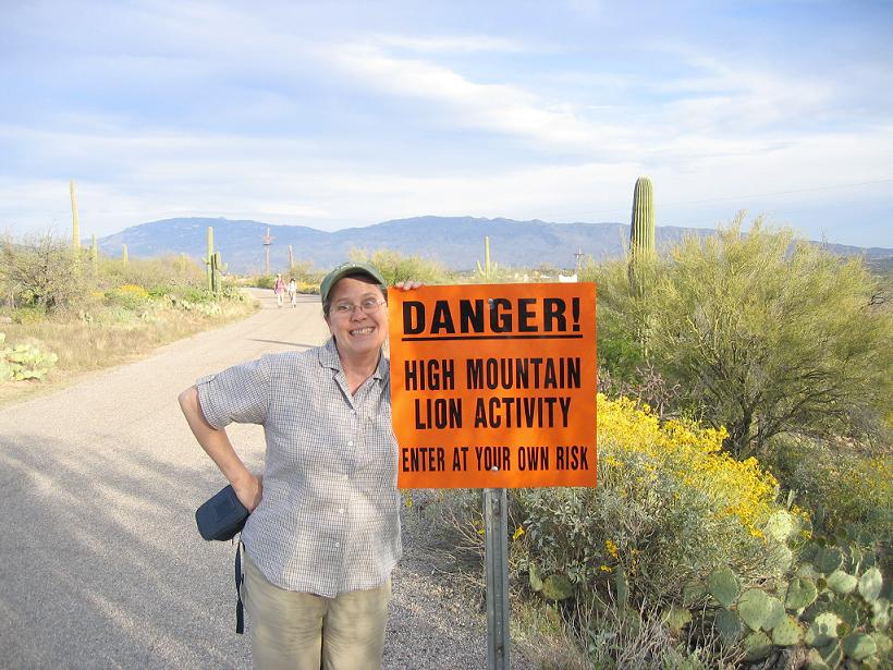
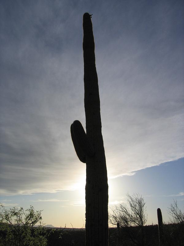
Click on the photo to see more.
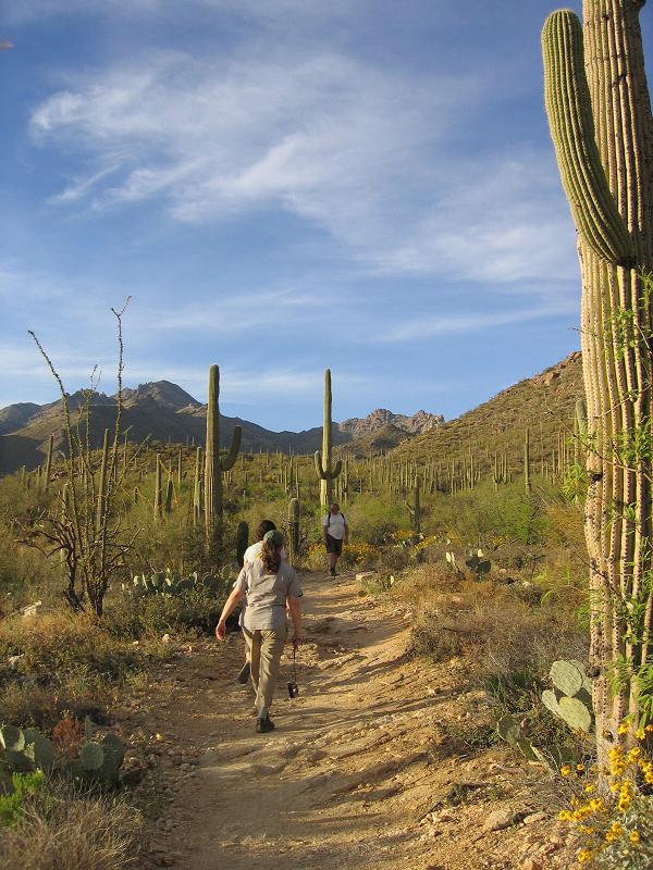
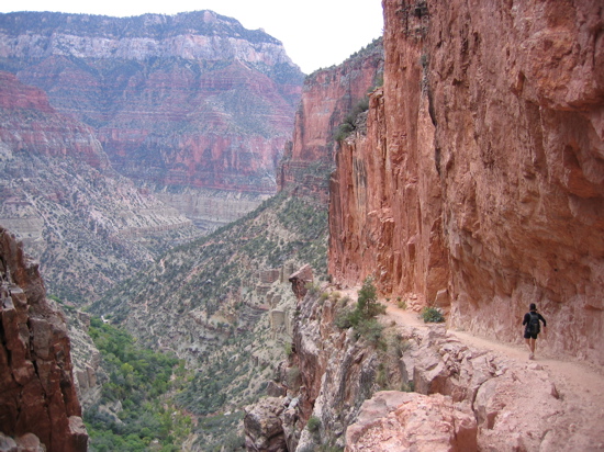 April – Running on the North Kaibab Trail
Today is October 2nd…our wedding anniversary. Paul and I have spent this celebration day hobbling around with sore legs and big smiles. Our leg muscles are destroyed from the last 2 days of strenuous running/hiking. Our smiles are beaming as we discuss and recap the stellar vistas that those tired legs carried us to. We are celebrating for 2 reasons. The first reason, another happy year of marriage together. The second reason, another exciting adventure together.
Saturday morning, at 6:07am, Paul and I embarked on one of our most amazing adventures yet: Run from the South Rim of the Grand Canyon to the North Rim. Sleep. Then run back the next day. The planned route was to take the Bright Angel Trail from the South Rim down to the Colorado River and over to the Phantom Ranch (9.6 miles, 4320 feet elevation loss). From there we would take the North Kaibab trail all the way up to the North Rim (13.8 miles, 5770 feet elevation gain). And then from there, we’d make our way over to the Grand Canyon Lodge (1.5 miles, FLAT!). We planned to return by the same route. We were hoping to run the downhills and the flats, and speed-hike the ‘ups’.
So Saturday morning, 6:07am, here we are. Excited, a little nervous, and probably over packed. We each have a backpack filled with water, some warm layers, and food – a light dayhiker’s pack. The Bright Angel trailhead starts right on the edge of the rim on the paved tourist walkway and heads…well,…straight down. Don’t trip or you might start rolling and not stop. The sun is just coming up and the canyon colors are glowing. I try not to look out too deep into the canyon, for fear that I might get scared at the extremely large task we were about to try to accomplish. Well, let’s do this. And we’re off. Paul and I burn down the trail, a focused, quick pace, staying concentrated on the terrain underfoot to avoid any tweeks or twists on the joints. As the sun rises and the rays creep into the depths, the canyon walls flame up around us. We take a few breaks to take in the beauty and snap some pics.
2 hours later, we’re staring at the massive Colorado River. 2 hours…woo! We’re cruisin’! A couple miles upstream lies the Phantom Ranch and we’re psyched. We trot along merrily through the white beach-like sand that borders the river and soon we reach the suspension bridge to cross. (Little did we realize, we’ve been training our legs all summer for uphills, not downhills, and our legs would scream this at us later for dropping almost 4500 ft in 2 hours).
Upon arrival at the Phantom Ranch, we see that the place is not as dramatic as we had imagined it would be. We were picturing huge, red, vertical walls on all sides – the ranch nestled in between the great massive-ness. Instead, we are quite surprised to see that it’s actually pretty wide open down here. If you woke up in your tent in the morning and looked outside, you might not realize how deep into the earth you were. Oh well, tis the excitement of not knowing what to expect. The ranch is bustling with people. Clean people smelling of cologne, dirty people smelling of B.O. You’ve got the mule-riding cabin dwellers and the backpacking tent-sleepers down here. And every now and then you pass, or get passed by, another rim-to-rimmer. You can tell by their quick pace, small packs, and quaint ‘hi’s”. They mean business, baby, so watch out.
At Phantom Ranch, Paul and I pick up the North Kaibab trail and switch our run to a quick hike. My right knee is starting to say hello so we’ve adjusted the pace accordingly. I momentarily consider whether we should turn back due to some pesky knee pain. That moment is soon gone and we excitedly trot forward.
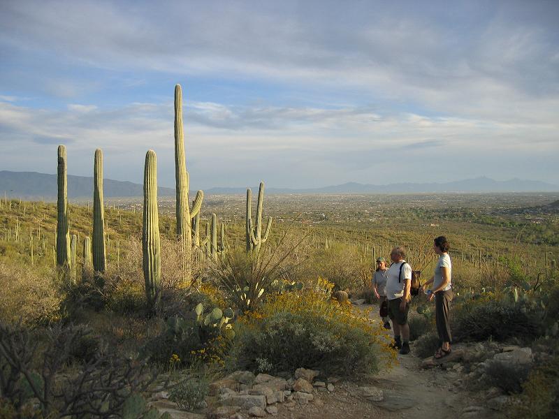
The North Kaibab trail runs up a spur canyon from the Grand Canyon proper. You can actually see this spur canyon, as well as a faint thread of the trail, from the South Rim – we later find out. Immediately upon departure from Phantom Ranch, the walls close in around us and we’re running alongside a gushing stream through a corridor. The air is somewhat cool and the gushing water makes it feel even cooler. Enjoy it now, because it’s about to get hot, hot, hot.
The spur canyon then opens up wide for probably about 5 or so miles. There is absolutely no shade at this point in the day. The trail works its way up at a gentle grade, and the elevation gain is hardly noticeable, which has us worried that the worst is yet to come. Paul and I speed-hike along, thankful that we’ve grown accustomed to exerting ourselves in the heat by training in the Tucson desert all summer. We pass through Cottonwood campground and a (concerned?) old man offers us his advice on the upcoming water stops to the rim. So far, we’re fine with water. There have been way more water stops than we had anticipated, and we realize we’ve probably been carrying too much! We press on.
Finally, the North Kaibab trail starts to ascend at a steeper grade and we’re psyched. We pass by a group of backpackers and a woman asks, “You doing rim to rim?” “Yep!”, we say. “Nice! You look great!” she says. We’re real psyched.
This next section of trail ranks itself as one of the most amazing trails we’ve ever traveled. The switchbacks cut through sheer rock faces. The massive drop-offs from the trail’s edge are breathtaking. The red, white, purple, gold, black, grey, and brown-colored cliffs shoot up in all directions around us, above us, below us. Yes, this section ranks right up there with the best.
It is now about 3pm and Paul and I are barreling up the last sections of switchbacks to the North Rim. We are starting to see golden Aspen trees and evergreens. The air definitely feels like “fall” here. We’re tired, but not that tired. We feel good. Just a few more switchbacks, and……….
……we’re there. We’ve made it to the North Rim. Actually, we’re not there yet. We hold the pace and continue on toward the North Rim Lodge, only 1.5 miles away…and yes, as promised by our topo, the trail is flat…wooo! It has now been 10 hours and 16 minutes and Paul and I cruise up, finally, to the entrance of the Grand Canyon Lodge. The traveling for Day 1 is complete.
We check into our delightful little cabin. It’s cuter than we expected. We have dinner at the main lodge…..a BIG dinner, stuffing ourselves until it hurt. The Grand Canyon Lodge is situated right on the cliffside of the North Rim. Through the giant picture windows of the lodge, Paul and I look out over the gaping gash in the earth. The Grand Canyon looks HUGE from this vista. “Whoa, look over there!” Paul says to me. He’s pointing out the spur canyon that we came up in. We look, and look, and look, following the contours of the canyon as it stretches further and further and further away from our current position and endlessly towards the south rim. “I can’t look anymore,” I say to Paul. The distance that we had come today, and were attempting to travel tomorrow, was too absurd to look at.
Sunday morning, 5:37am. We step out of the cute little cabin and begin Day 2’s journey. It’s dark and Paul and I make our way by headlamp over to the North Kaibab trailhead. There are some others at the trail head as well. Other rim-to-rimmers.
Immediately the trail plunges down, down, down the switchbacks…and my knee is not doing so hot, to say the least. I tell myself that the pain is a product of all the downhill running yesterday and that it’ll feel better on the flats and uphills. And eventually, around 8 miles into the day, it does. We’re now cruising along, at a grandma trot of a run, on that gradual-grade section where the spur canyon opens up wide. Luckily, the sun is still low and behind the walls. We decide to keep pressing forward with minimal stops all the way to Phantom Ranch. We weren’t sure how long the return trip would take us, with sore legs and my bummer knee and other aches and pains that kept creeping up. “Let’s just bang this section out and rest at the ranch.”
We’re now around 13 miles into the day. The trail is endlessly twisting and turning through the roaring stream corridor before Phantom Ranch. Just around the next bend, just around the next bend. We’ll stop when we get to the ranch…….
….our grandma trot turns into a dying-grandma trot. Then it turns into a walk. Then it turns into practically a stumble. I’m feeling somewhat spacey…lightheaded….I’m getting sick of this stupid roaring stream and the canyon doesn’t seem as pretty as it did an hour ago….my feet hurt…my legs hurt…I can’t WAIT to get on some uphill terrain….give the downhill muscles some relief and turn on the fresh uphill muscles….Paul and I haven’t spoken in the last 30 minutes…is he still behind me?…turn around to look back….whoa, off balance…don’t fall into the stream! Yep, here’s the part of the adventure where you’re like “hmmm, things could be better right about now.” Just around the next bend….just around the next bend….
And there it is. Phantom Ranch. Heaven on earth. The roaring stream corridor is over and Paul and I sit for the first time in 14 miles. We relax, eat, look at the beauty around us, and chat. We’re re-charged.
The final stretch feels great. Our uphill-honed legs thank us for the change in the terrain and treat us nicely all the way up to the South Rim. We cruise at a pace faster than estimated. Wooo!! We’re psyched once again. Seeing the trail go by in reverse is almost like being on an entirely different trail. Vista, after amazing vista….it’s endless.
11 hours. The 49th mile of the weekend. We’re making our way up the last switchback of our Grand Canyon adventure. We can hear cars and people just above us on the South Rim. The trail is packed now with tourists strolling down from the rim to get a better glimpse of the depths below. We stop briefly for one final water break and to savor the canyon interior one last time. 2 older men (from Pittsburgh!) start asking us questions. They slowly pry out of us what we’d been up to over the last 2 days. After much disbelief and serious judgement on sanity, they ask “Well, here’s the real question: Did you enjoy it?”
“Every step.”