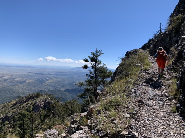
This was last weekend’s adventure, and there was nothing b-side about it: Mt Wrightson via the Florida Trail, all the way to the summit! 16 miles, 6k elevation gain, and weeds taller than last time!! We were sure to come prepared though with a change of pants and “Welcome to the Jungle” by Guns and Roses stuck in our heads. A good time was had by all. 😁
Big mileage, strong kiddos, patient parents. Healthy foods, a good night’s sleep, the right gear. Positive attitudes, endless motivation, words of encouragement.
Ha! Right, that’s exactly us! Hahahhaaaaa. Consider this post the b-side to all our most recent trail adventures with the kids.
B-side adventure happens when:
I buy a variety of pre-wrapped snacks for the kids to munch while hiking, and realize them picking out which ones to throw into their packs is the one motivator in getting them to pack their pack the night before without complaints. …and sometimes the motivator for the hike itself
Our kids bicker endlessly on the hike over who traded what snack and whether or not it was a fair trade
Our kids have kicked it into high gear and I’m struggling to keep up and know that’s it’s either because a) they just downed an entire pack of those disgusting energy gummies that are nothing but sugar bombs or b) they’re talking about video games
Our son complains that his backpack hurts his back and instead of buying him a better pack, I buy myself one so that I can carry some of his stuff when he starts complaining next time
“Brunch at Barrio Charro” becomes the reward for not turning around before the planned destination is reached
One of the kids needs to poop and the trail is too steep and exposed for detours, let alone privacy
We realize we’ve left the breakfast and post-hike snack bag at home
A park ranger notices we’ve brought our kids along, strolls past all the near-death looking hikers, and starts asking us questions on where we hiked in from and where we’re hiking to, and then gets very confused upon hearing our response
We let the kids stay up way too late the night before because we all want to watch another Mandalorian episode (or three), and then we wake them at 3:45am, drive an hour to the trailhead, start up the trail, and then the youngest one stops dead in his tracks and declares “I don’t want to hike today.”
I can’t let go of the boulder problem i didn’t finish this summer in Durango and so decide that on the way to the Mt. Kendall Adventure, we MUST make a stop at the boulders so that I can send, despite massive protests by the kids. It’s not that the kids can’t wait to get to Kendall for the big hike, it’s that they can’t wait to checkin to our accommodations and watch some TV. (And for the record, yes, I sent).
In case anyone was wondering why it is we’ve been racking up the trail mileage this summer…
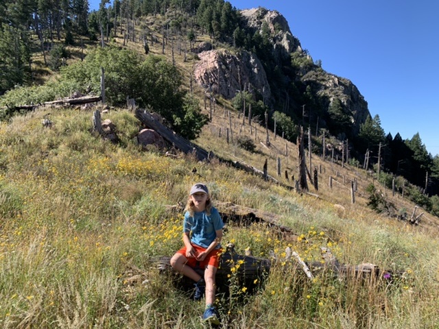
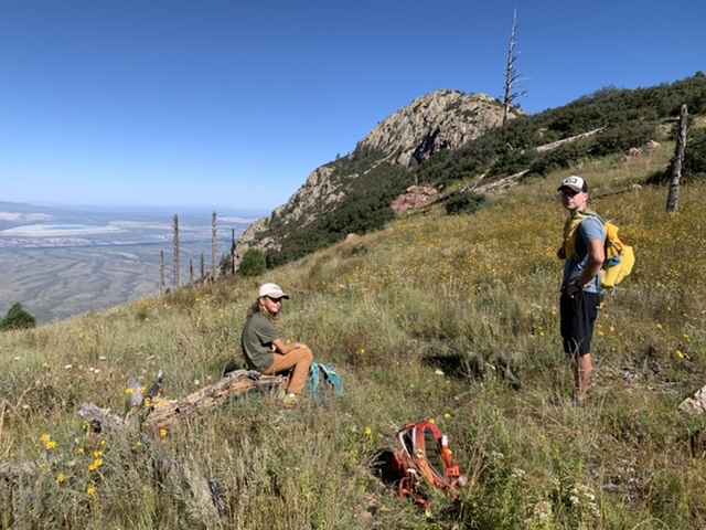
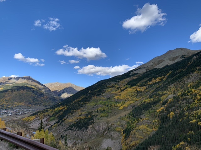
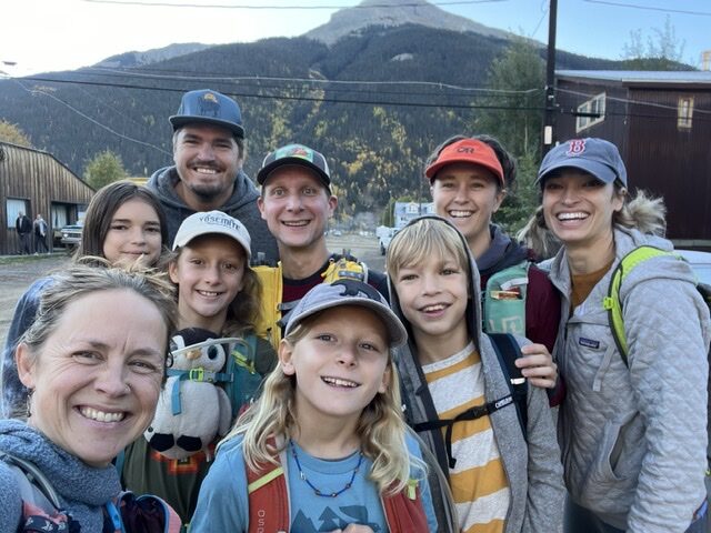
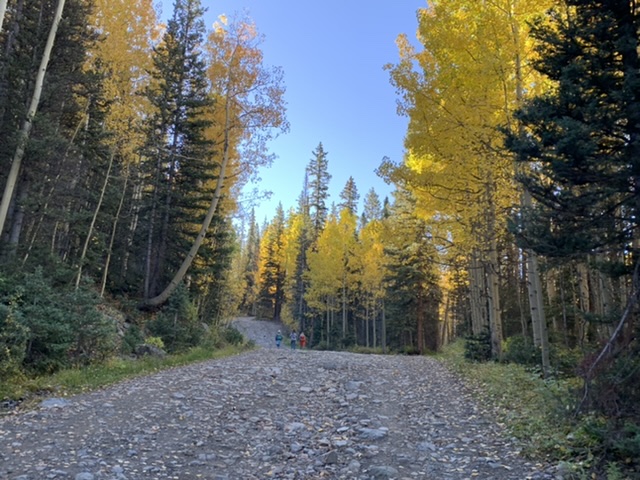
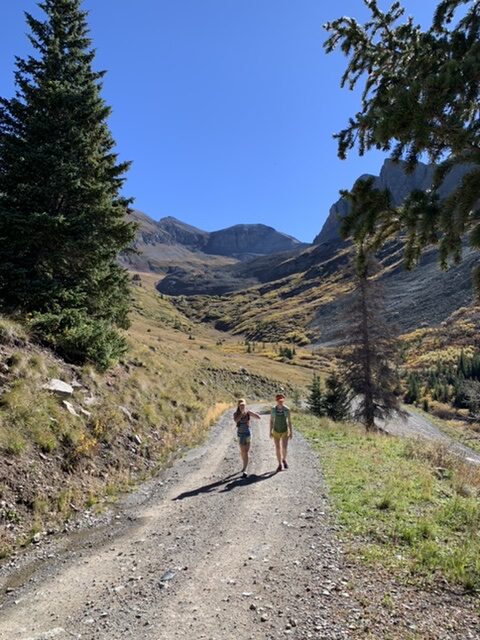
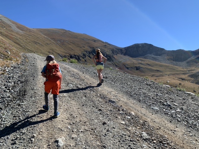
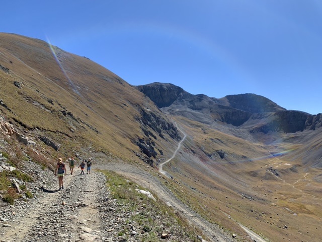
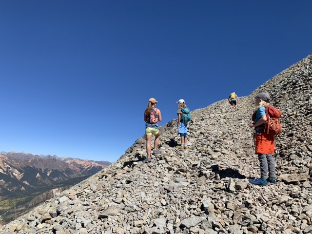
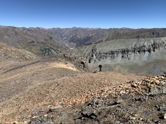
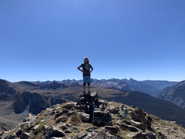
Mt. Kendall. 13,066 feet high and the prominent peak above the little mountain town of Silverton, Colorado, Kendall has a convenient little jeep road that runs right from town to the top, 6ish miles one-way. We hatched the idea while in the area about the same time last year for our wedding anniversary, and all played out even better than imagined. Gorgeous weather, peak fall foliage, just the right amount of family fitness to carry us to the top and back without whining, super swanky accommodations to relax in afterwards, and best of all good company – Linda, John and Mandy (our hardcore crew that can’t ever seem to decline an invitation for a good trail adventure. You guys rock!).
Yup. Nailed it.
Mt. Kendall up to the right and the town of Silverton down on it’s left.
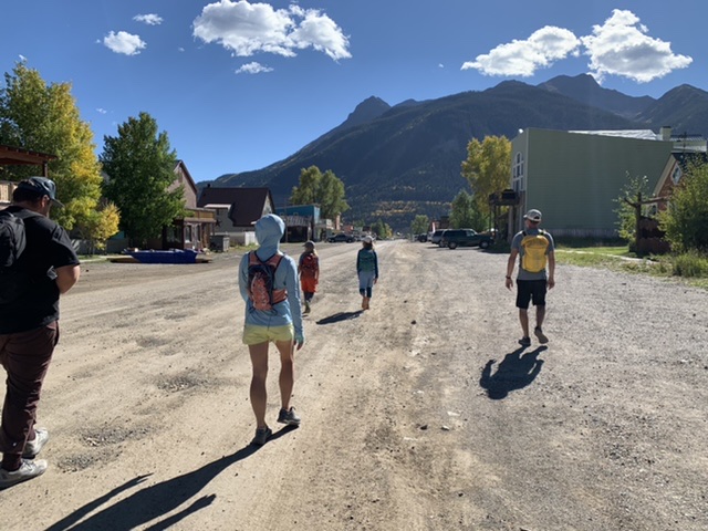
“Well this looks like an eager crew!” – noted a passerby on the street in the chilly early morning as we were heading out.
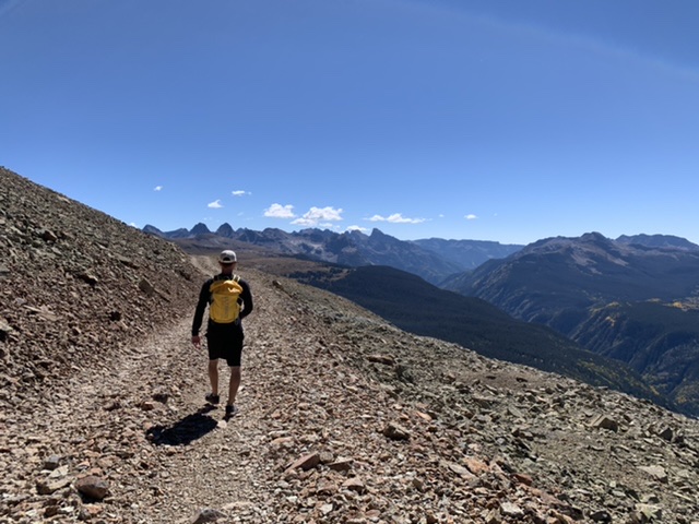
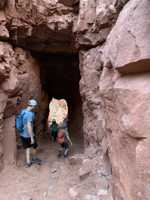
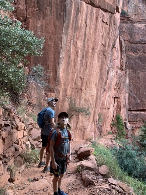
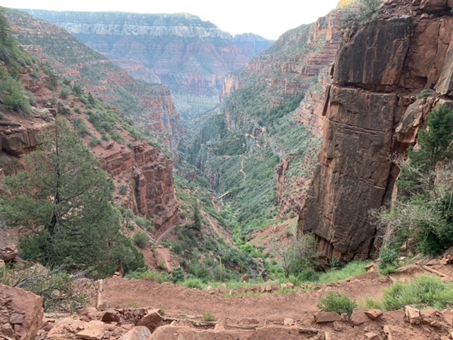
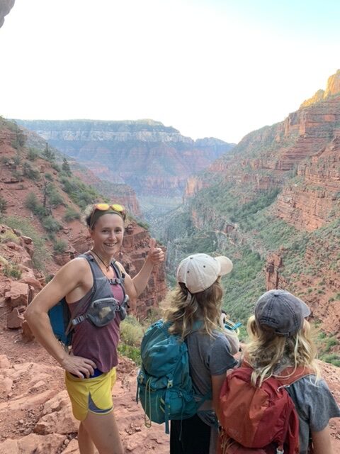
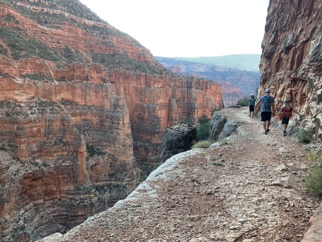
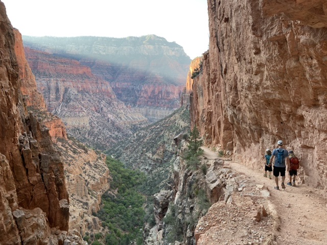
This weekend: an out-and-back from the North Rim of the Grand Canyon, down the North Kaibab trail to the Manzanita Rest Area. 11.5 miles total and 3641 feet elevation loss / gain. While there’s nothing at all special about the Manzanita Rest Area, the North Kaibab is my favorite trail of all time, and in the top 3 for Paul. We were SO eager and excited to show it off to the kids. Giddiness was as high as it gets as we all quite literally bounded down the trail in the early wee hours of the morning. My memory did not disappoint, the terrain was as beautiful and wild as I remembered it.
And the kids…LOVED it. ❤️
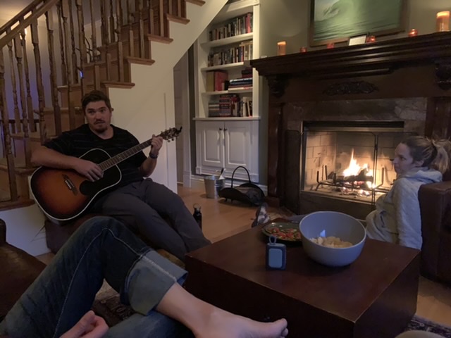
After our morning hike we checked into a sweet little campsite at the North Rim Campground. We spent the rest of the day chillaxing, then decided to walk the rim over to the lodge for a cocktail, bringing our total daily mileage up to 15.5 miles. One would think the boys would be beat by then and ready to hit the sleeping bags early. Um, nope. Not these boys:
I scoured Tucson area trail maps Friday evening, looking for the next big banger. After summiting the Santa Ritas (south of Tucson), and then the Catalinas (north of Tucson), I sooo wanted to get to the top of something in the Rincons (east of Tucson). While the mileage and vertical gain stats of Rincon Peak looked very tempting, the trail is on the wrong side of the mountain for a summer time hike – the eastern slope. Douglas Springs is another option, a favorite we run often, but to summit any of Rincon’s three peaks from “Dougie” is waaay too much mileage to crank out and back in a morning before the heat. Dang.
Close the Rincons map, open the Catalinas map…. Eh. We’ve done all these trails!
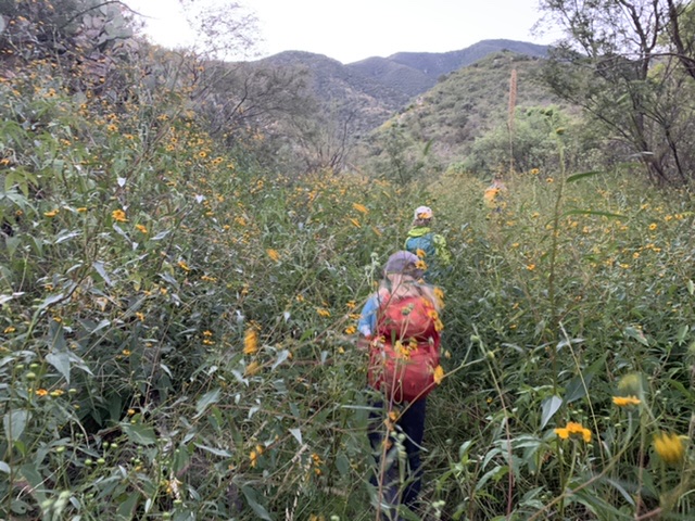
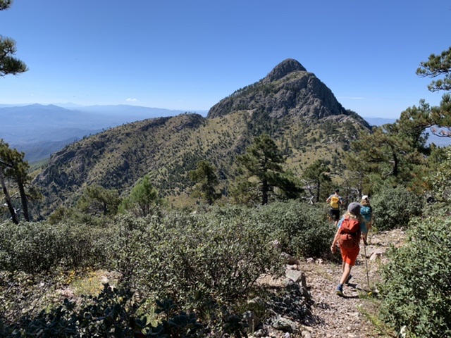
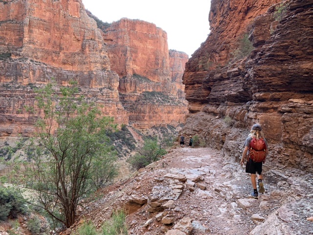
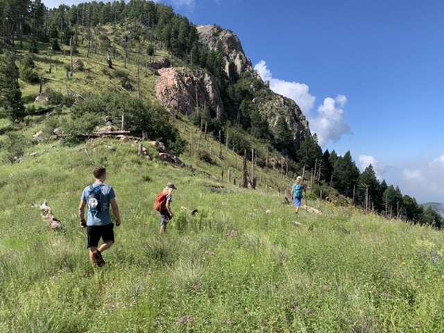
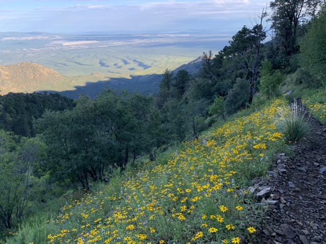
Close the Catalinas map, open the Santa Ritas map… Hmmm. We’ve summited Mt. Wrightson a few times now, but via the same trail – the trail that EVERYBODY summits with, Old Baldy. Looking at the map though, there’s all kinds of stuff! I find a nice looking line up Florida Canyon (pronounced Flo ree’ da), with the option to connect to Baldy Saddle, and on up to Wrightson if one is feeling extra wild.
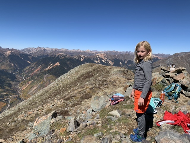
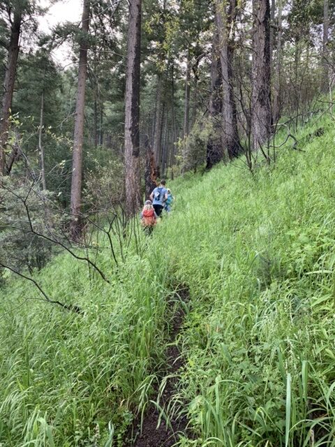
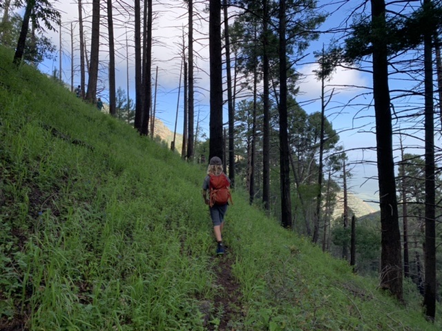
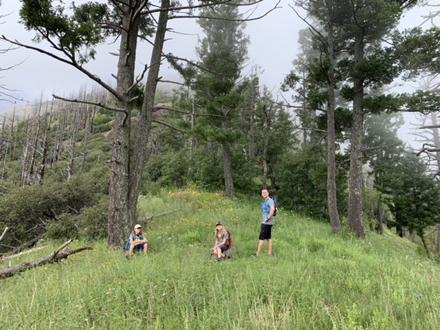
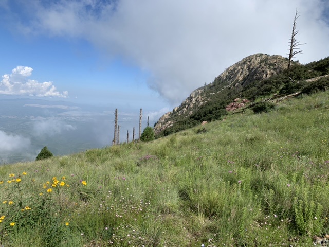
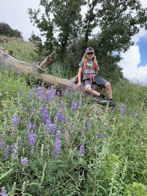
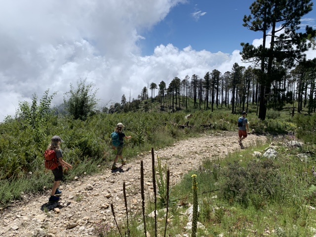
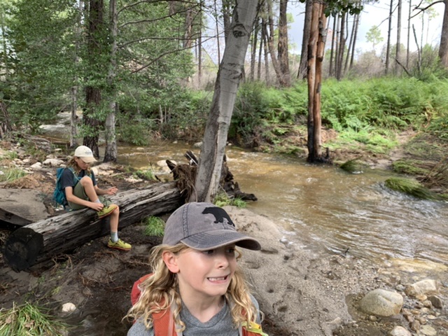
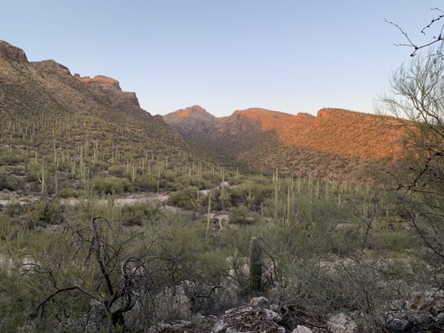
Florida Canyon it is! Not quite all the way to Baldy Saddle but good ‘nuff: 12.5 miles, 5k elevation gain and the entire trail all to our ourselves. With the overgrowth, single track, and pristine grassy and flowery saddles, it’s obvious that this is a trail less, if ever, traveled.
Just a wee bit overgrown. I will NOT be wearing a skirt to work anytime in the near future.
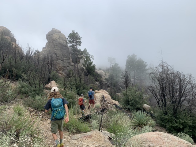
Today was a Mt. Lemmon day. We decided on a trail up high, on account of all this wonderful rain we got in the last 48 hours thanks to a very generous tropical storm in Mexico. Sure enough, all the canyons were gushing and water was coming out of everywhere on our drive up the mountain. We parked at the tippy top, hucked on our hydration packs, and scurried passed all the day-trippers. We headed west, down the ridge. Following the Mt. Lemmon trail we hooked south and started descending down toward the Wilderness of Rocks.
Oh the clouds! Remnants of the prior days’ storm, clouds and mist whisked passed us and over us. What would typically have been a very sunny, and thus very hot trail (too much rock for trees to grow in the Wilderness of Rocks!), was moist and shady and lovely. Today was the perfect day for this adventure.
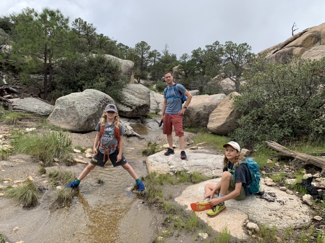
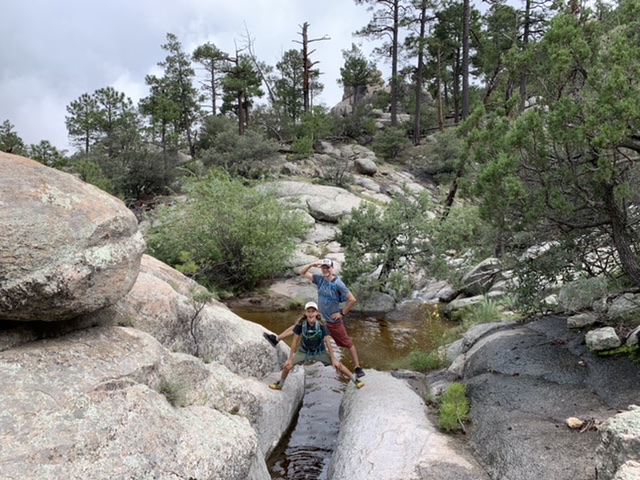
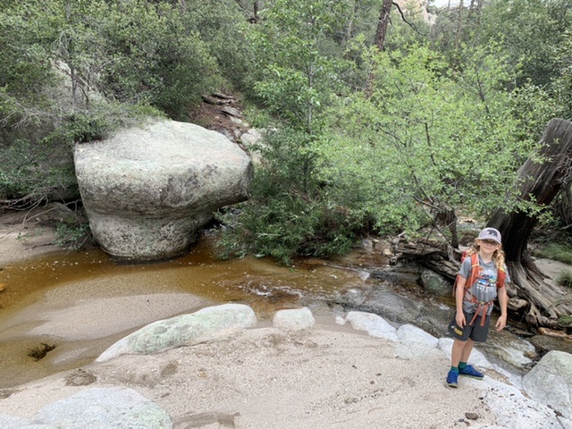
And an adventure it was. Headed back east now on the Wilderness of Rocks Trail we crossed water maybe a dozen? Two dozen times? It was hard to keep track. Once we even had to wade, as there were no rocks to hop on. And another time we crossed a dead tree that was suspended a little to high for comfort over the water. The trail was overgrown and at times hard to follow with all the water. Our feet got soaked, our legs got ripped to shreds, and we lost the trail many times. It was a fantastic 10 mile day.
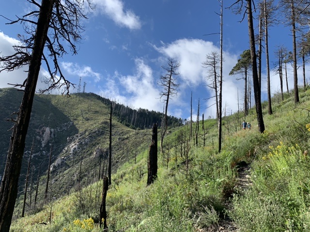
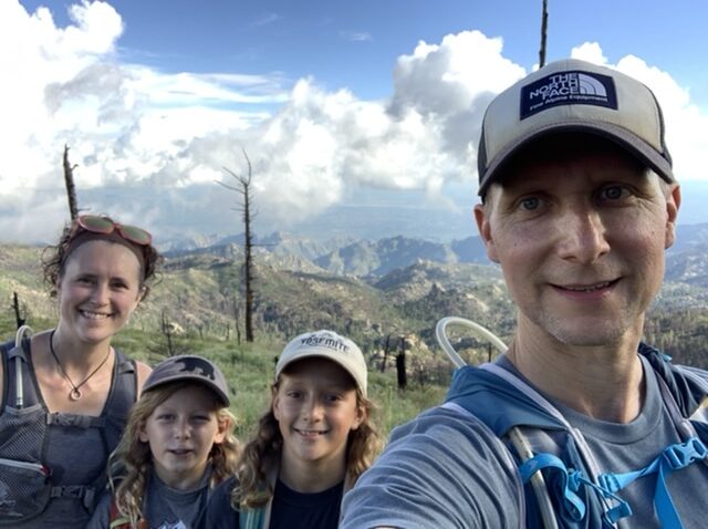
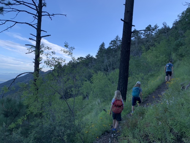
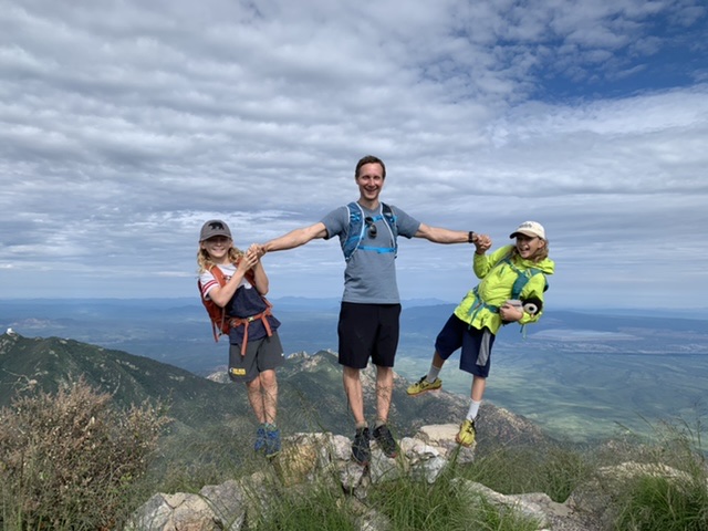
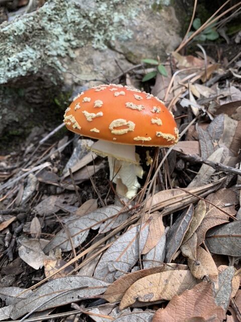
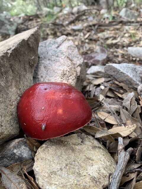
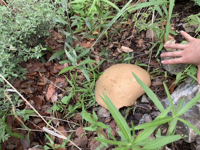
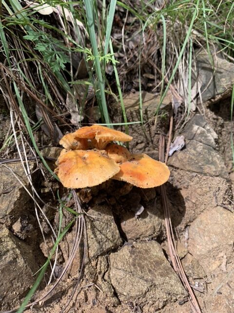
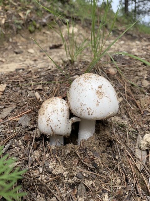
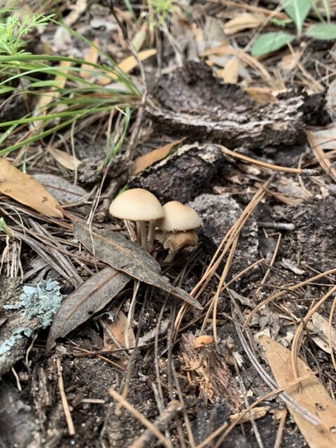
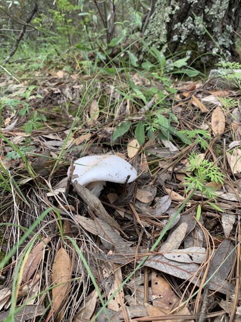
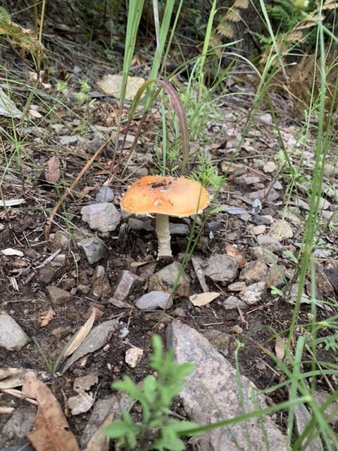
Summited Mt. Wrightson today, 11 miles and 4000 feet elevation gain. The monsoon rains have been good to us this summer in Arizona. And as a result, Wrightson was bursting with greenery, wildflowers and the most diverse display of mushrooms I have ever seen in my life! I got pictures of most, but not all. We saw a black mushroom only once and I neglected to snap a photo.
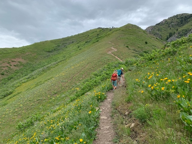
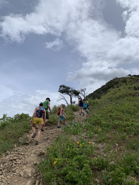
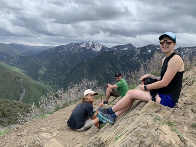
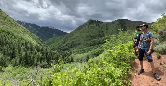
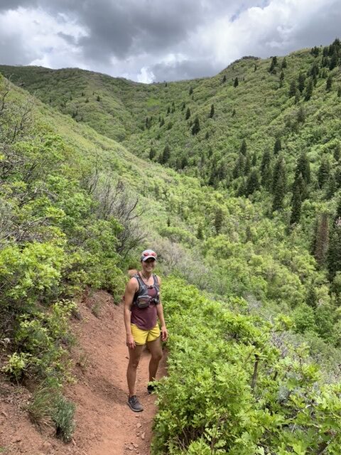
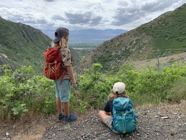
We did a little jaunt with Joe and Holly yesterday: a loop up and around Grandeur Peak above Salt Lake City. Only about 10 miles and 4000+ feet elevation gain. 😉